Written by Adele Machin
Finally our desert crossing is here. There are 6 of us, John and I, John’s brother Brian and wife Val, and our friends Stuart and Jean travelling together, and this is really what we came out to the Centre to do. While we were planning the trip the opportunity to join other MySwaggers in a Meander around the Red Centre came up so we decided to combine our trip with them. We are all very excited and this Part 3 is about our Simpson Desert Crossing.
Thursday 10 July 2014
Alice Springs
Awoke to minus .9 degrees. Cold! There was ice on the car once again. I had washed all my woollies yesterday so had to layer up and wrap myself in a blanket, but survived. Today was washing, more washing, sorting food, water supplies etc.
Our aerial for the 2-way wasn’t working properly so John bought a new one, which was annoying as we have a spare at home, and he set the new one up on the roof rack. We can now hear clearly.
We went into Alice to top up our groceries and try and buy more beer but had to wait until the bottle-O opened in the afternoon. We ended up going back at 6pm as wine and fortified wine is only sold between 6-9pm. They are trying really hard in the NT to stop Aboriginals from getting intoxicated and that means others have to abide by the same laws. The other campers were busy catching up with relatives, shopping and visiting some of the sights around Alice.
After dinner we all met at the coffee/pancake van at the camping ground, in the cold, and had a nightcap of dessert (pancakes and ice cream) and hot chocolate and discussed our travelling time table for the next day. We also said farewell to Val’s brother and family as they were starting on their return journey to Melbourne the next day.
We all went to bed really excited as travelling across the Simpson Desert was the big highlight of our trip and really the reason for coming out to the middle. Our Meander around the middle was finished.
Friday 11 July 2014
Alice Springs – A camp on a corrugated road
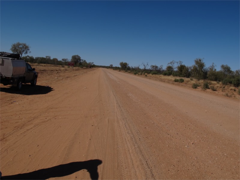
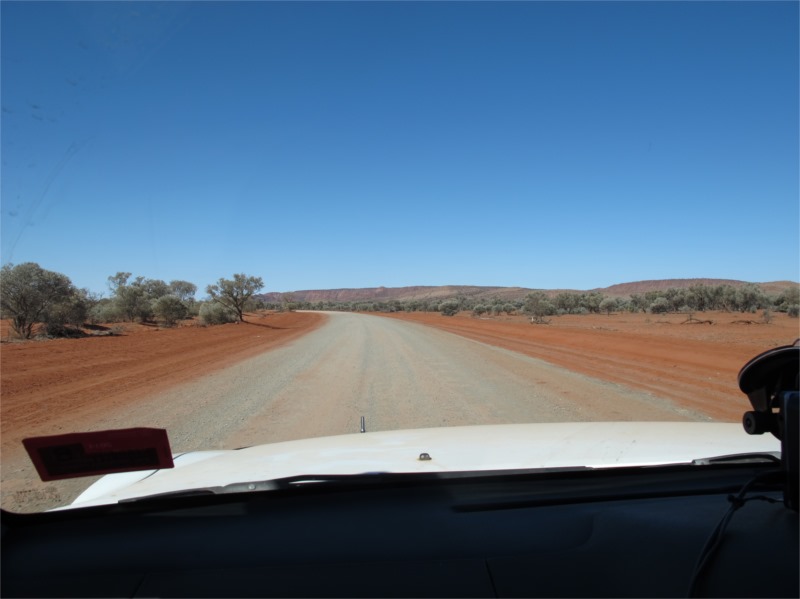
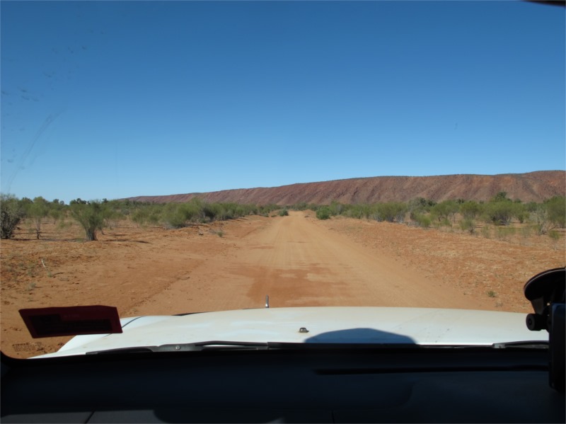
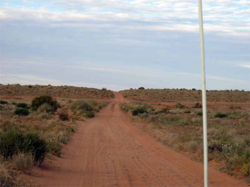
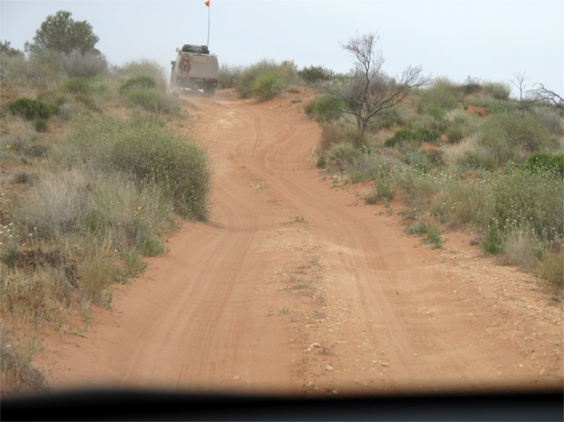
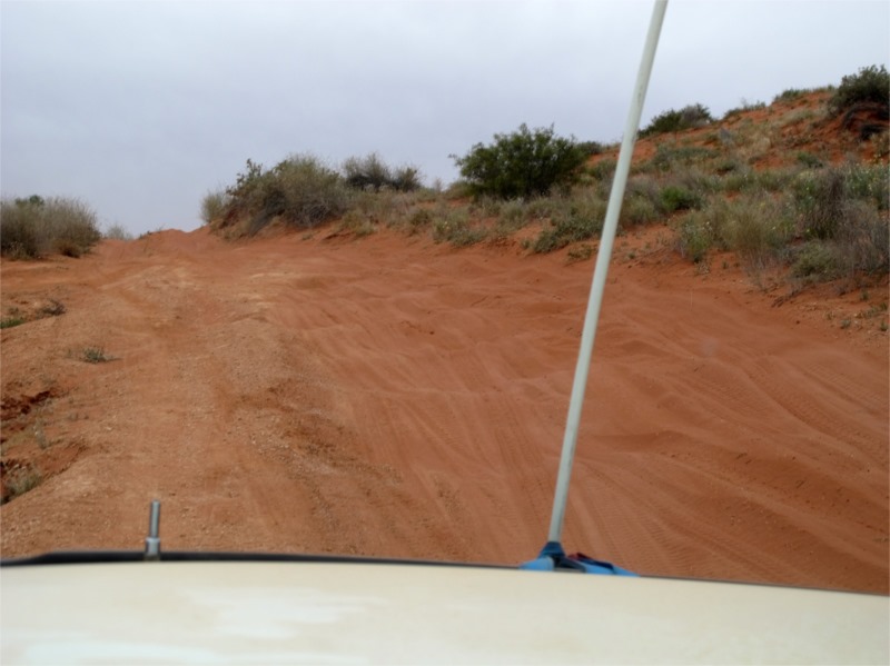
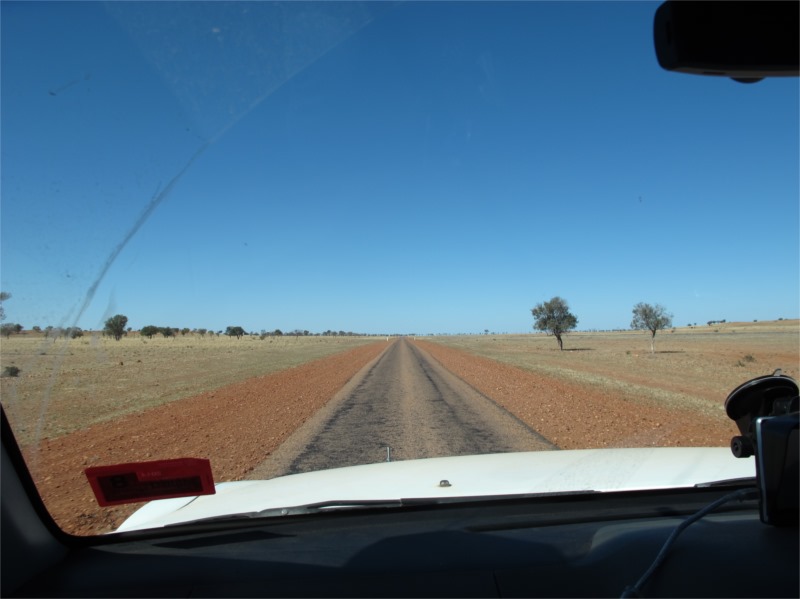
We awoke to 1 degree and icy winds. Our excitement kept us warm but I must say we were glad to get in the car and get going hoping it will be warmer out of Alice. Val and Brian still had things to do in Alice so we went to Macca’s for a good coffee and toasted banana bread, then waited at the designated spot for them to return. We all left around 11am and headed south initially and then turned south-east past the airport and onto dirt again which was going to be our road surface to travel on for the next 7 days. (I wasn’t so sure about travelling east though as we had been travelling west for the past 3 weeks and travelling east meant our holiday was getting closer to the end.) We let our tyres down and set off on what we had heard was a bad road. The road was much better than expected and we made such good time today that we ended up travelling and camping further down the road which ended up saving us a day on the trip.
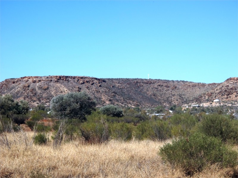
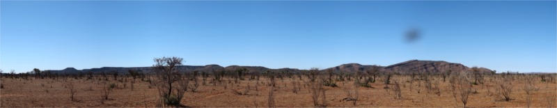
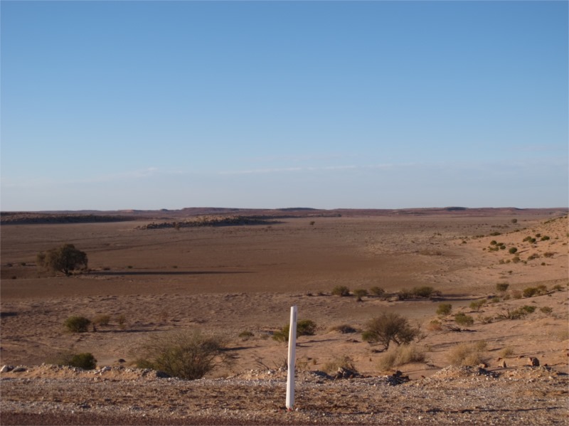
The terrain once again was very different from what we had been seeing. There were these things that had grown out of the ground, I think they call them hills, and they looked like they have been especially contoured . The sky was still blue with no clouds and we were hoping it would stay that way as we wanted to see the heavens in the desert as we’d heard it looked like the stars were just an arms length away and we wanted to experience that.
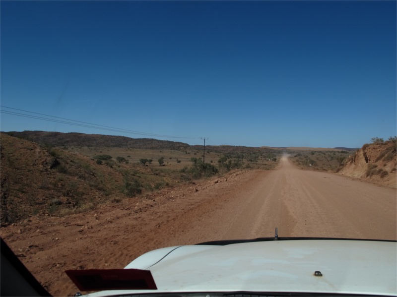
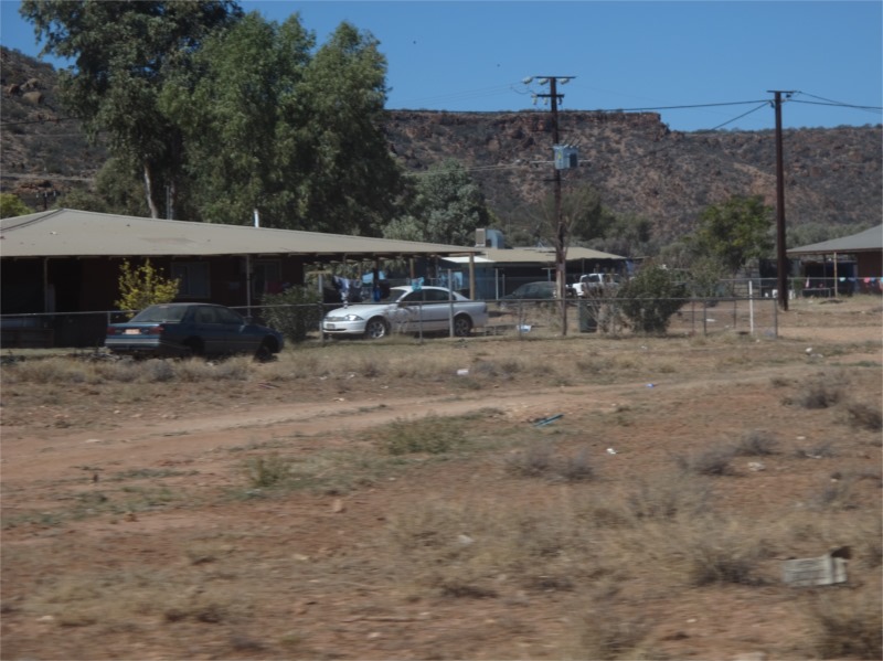
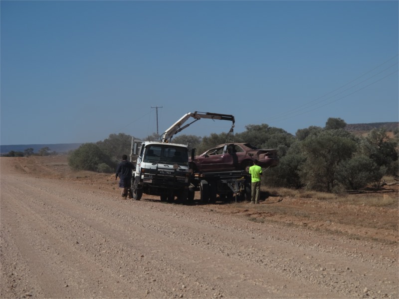
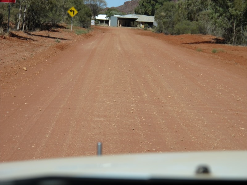
We passed Santa Theresa Aboriginal community which was established by missionaries. The community is set at the base of a small mountain range with a white cross stately positioned on the mountain behind. The township itself we didn’t go into as it is, supposedly, a dry settlement. Because we had alcohol onboard it could be seen to be tempting to the Aboriginals and our alcohol and car could’ve be confiscated if they wanted to get nasty. I say “supposedly” because as you travel towards and from the town there is a trail of green VB cans. There was a tow truck retrieving one of many of the abandoned cars we saw on the way.
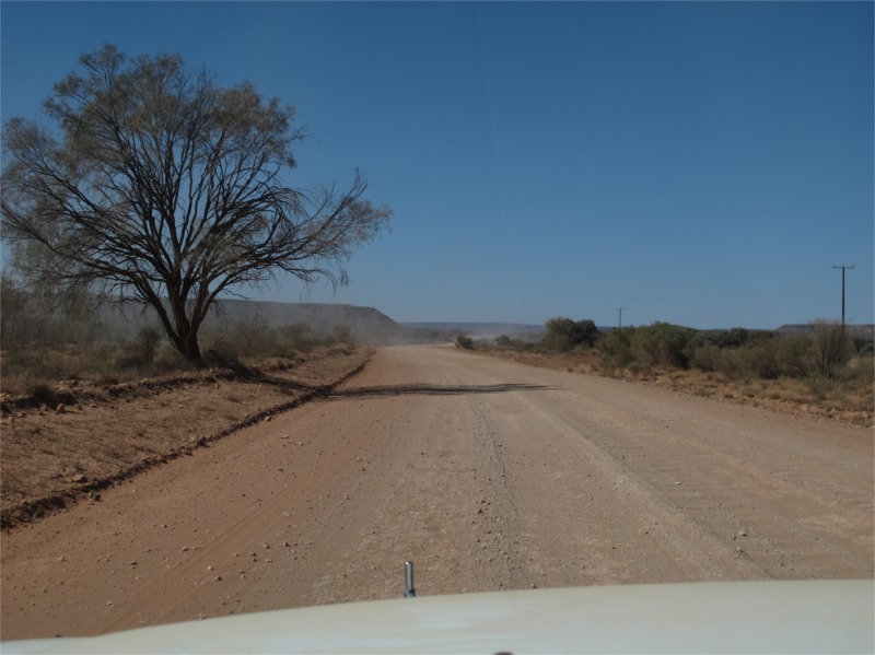
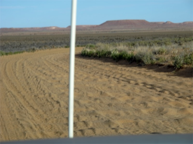
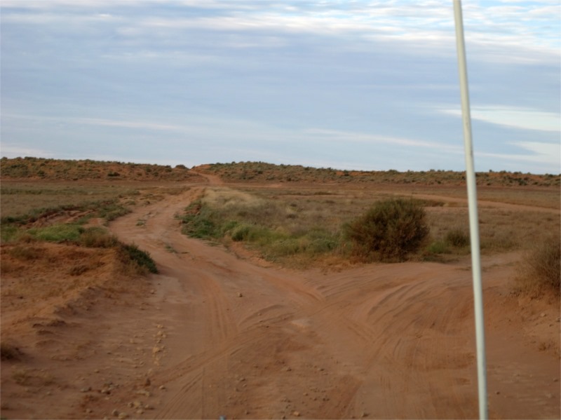
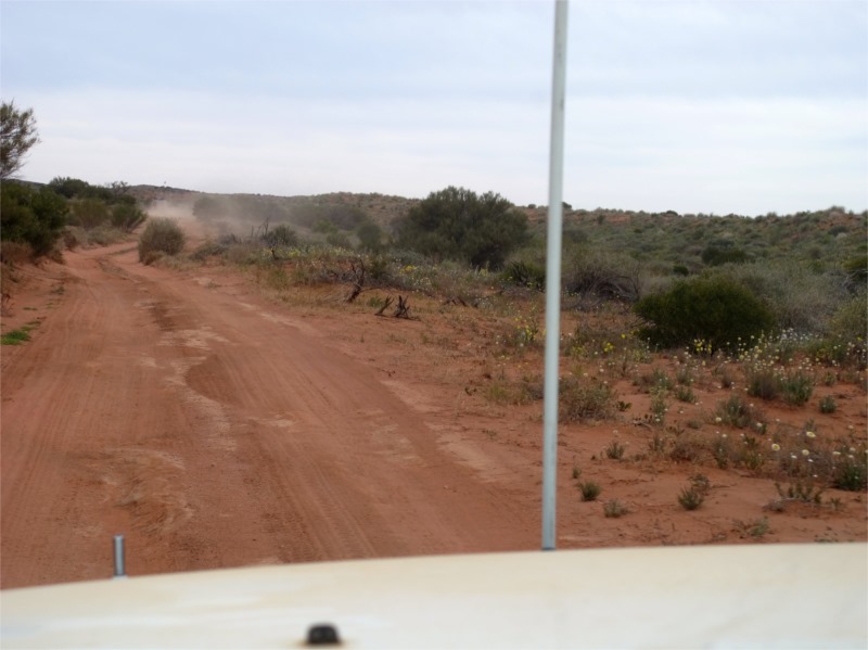
Past Santa Theresa we stopped for lunch. The flies found us so we didn’t stay long. At one stage it looked like the road went straight through a large shed and vanished into the 5th dimension and looked like a dead end, but as we got closer the road veered sharply to the left. The road changed from dirt to hard gravel to sand quite regularly and was mostly in good condition.
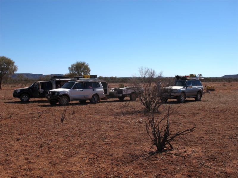
We travelled until about 4.30pm and found a nice spot just off the road to setup camp, just past Highway Bore. We didn’t have to worry about cars travelling at night and creating dust as you don’t drive on these roads if you can help it in the dark. There are no fences and most of the land is open beef cattle properties so you need to have good vision when encountering livestock which meant travel in daylight.
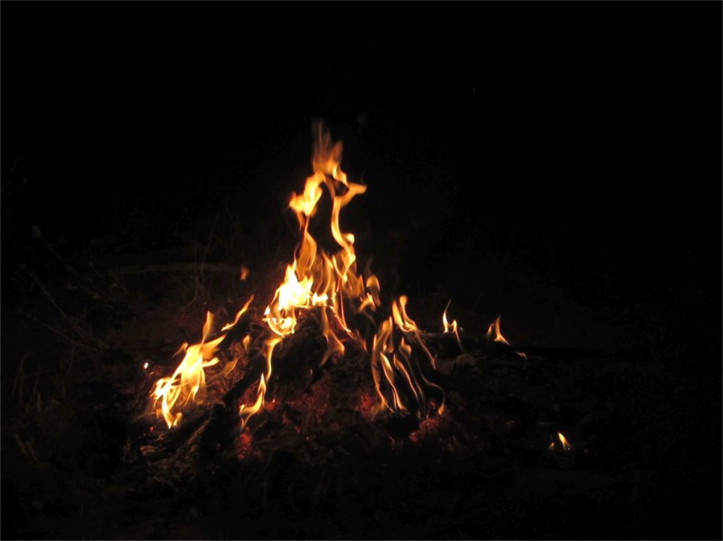
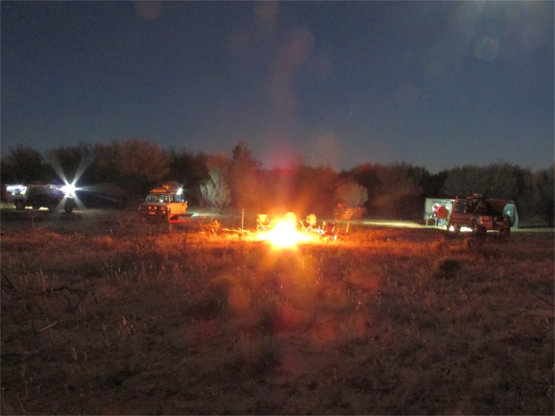
We set up camp, cooked dinner and then sat around the fire talking about what we were expecting to see down the road before getting to the desert. We had at least one more day of travel before we were on the Simpson. Off to bed and rise when the sun comes up. No need to be up too early.
Saturday 12 July 2014
Highway Bore Camp to Purni Bore
-1 degree in rising this morning though it warmed up quickly. What’s that white stuff on the horizon? Clouds? Yes some wispy clouds started to appear.
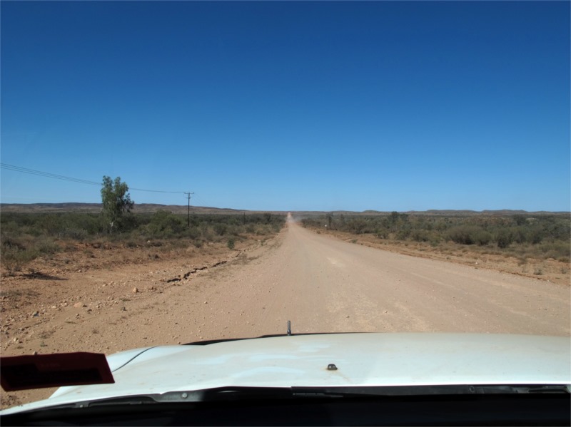
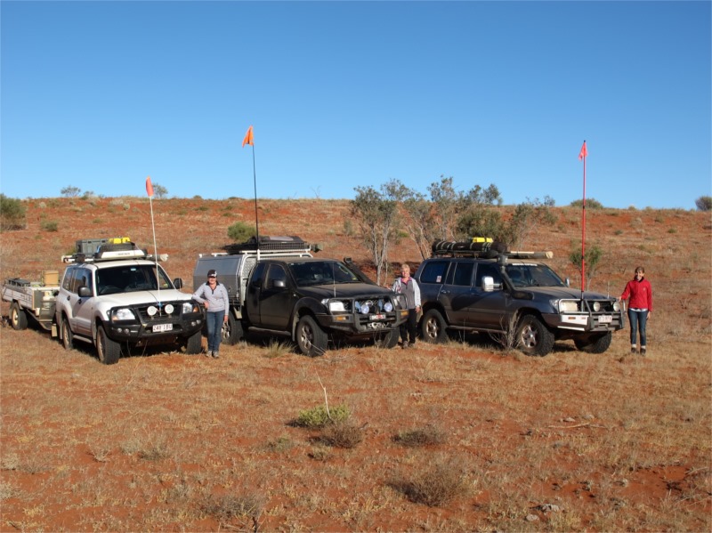
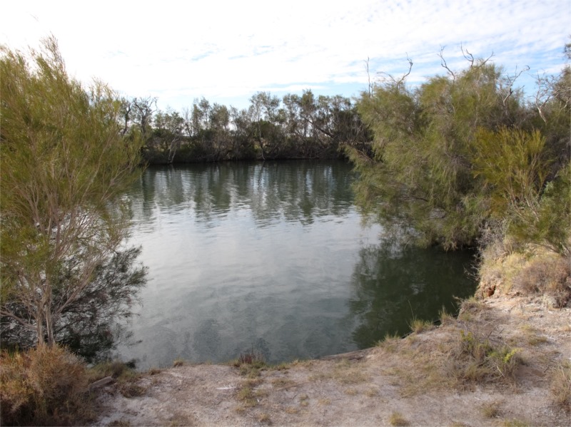
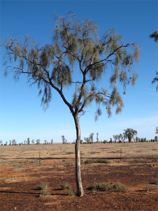
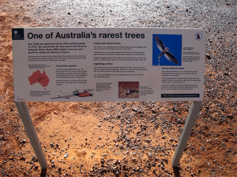
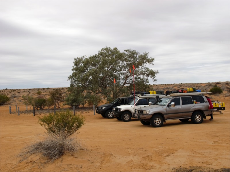
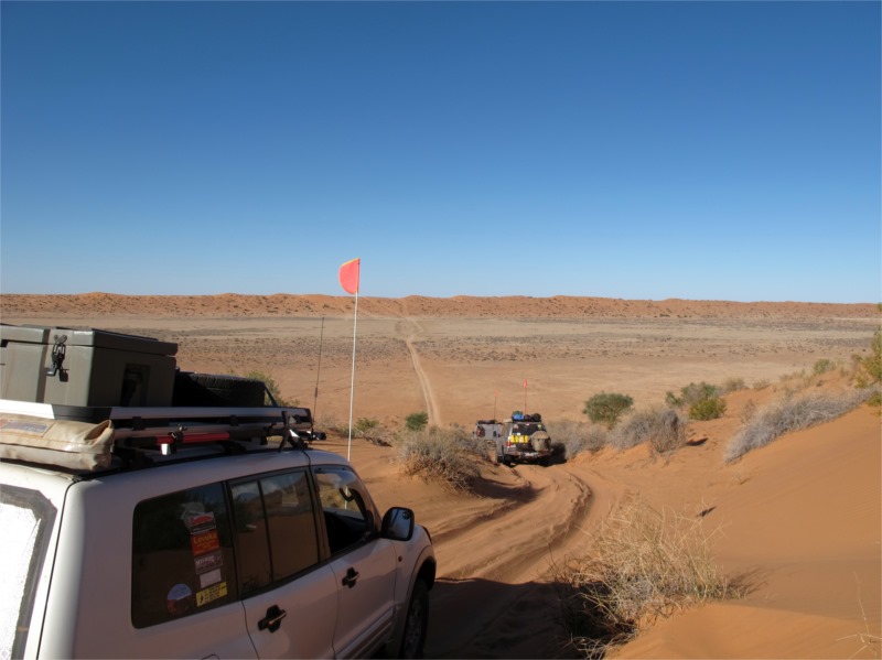
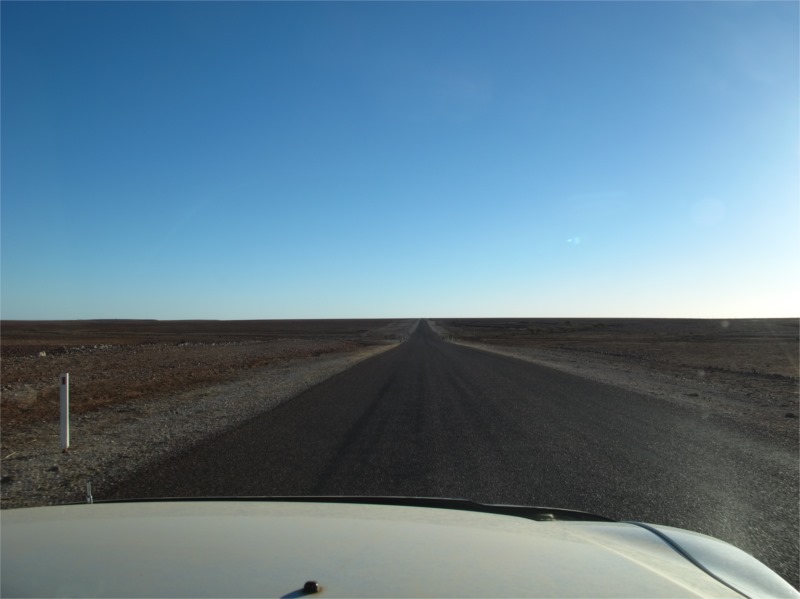
We put up our sand flags in readiness for the sand dunes. It was a sign that the desert was near. We took off on our trek with the first stop to be Mac Clark Reserve. The reserve protects an ancient tree – Acacia Peuce – which is only found in two other places in Australia, Boulia and Birdsville. On the way there the terrain was so flat that you couldn’t see anything in the distance, you could just see that the world was round. Quite eerie.
From the reserve we travelled 38kms to Old Andado. This station has run 1300 sheep, 420 cattle and 116 horses in its time. It is currently a cattle station and has been owned by Molly and Malcom “Mac” Clark since 1969. In 1955 a new homestead was built 18kms west and this homestead became the “Old Andado” and fell into ruin. In 1972 Molly and “Mac” restored the old homestead to its former glory eventually operating it as a tourism business to show tourists how life was in the earlier days in the outback without modern amenties. The name Andado comes from a southern Aranda (Arrernte) Aboriginal word for a stone implement.
Molly and family experienced a double tragedy in 1978 when they lost Mac to a heart attack while flying his light aircraft and in 1979 their eldest son, Graham, who died when his semi trailer collided with a freight train. Andado Station was one of the first cattle stations in the Northern Territory to undergo Brucellosis & Tuberculosis testing. Because the station bordered with South Australia they had to de-stock (cull) their cattle and subsequently lost the property, having to sell it in 1984 for a pittance.
In January 1987, Molly secured a Crown Lease over 45 square kilometres of land around the old homestead, re-naming it ‘Old Andado’.
It was amazing wondering through the old homestead and surrounds. The homestead just looked like someone had walked out the day before and you could see where the old and relatively new parts of the house were. There wasn’t much dust so the volunteers that this project now relies on must go there quite regularly. You can camp there in a very basic fly infested dusty camp ground or stay in some cabins. The day we were there the flies nearly carried us away, so I’d hate to be there on a really hot summers day. What our pioneers put up with, without adequate cooling and fly screens “in the old days” was just amazing.
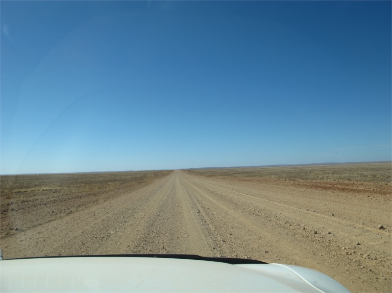
From Old Andado we travelled past claypans, swamps and of course dusty roads which were in reasonable condition to Mount Dare.
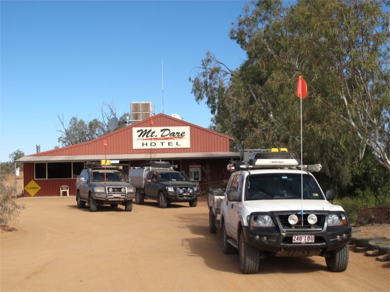
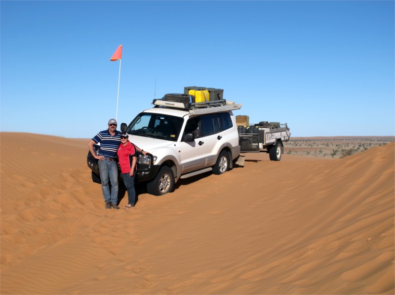
Mount Dare is our last fuel and water stop until we reach Birdsville approximately 620klms away. Over our travels we had kept a record of our fuel usage to help us gauge what we would need for the desert. Our Pajero had been really economical on fuel considering we had quite a load on and were towing. To be sure we took 5 extra jerry cans of fuel, filled up the fuel tank and already had the LPG topped up for use at the end of the crossing. We paid $400 for 150L of unleaded and $150 for the South Australian desert pass which lasts for 12 months. With the pass you get a book on do’s and don’ts of travelling across the desert and three really good maps. If you are going to travel this way then I suggest you don’t buy any maps as these ones are really good. The obligatory stubby holder and car sticker was purchased and we were off again with the next stop being Dalhousie Springs. We were originally going to stop at Dalhousie over night but because the road up until now was pretty good we were making good time and thought we could go further.
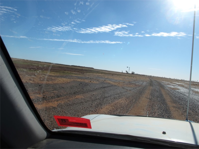
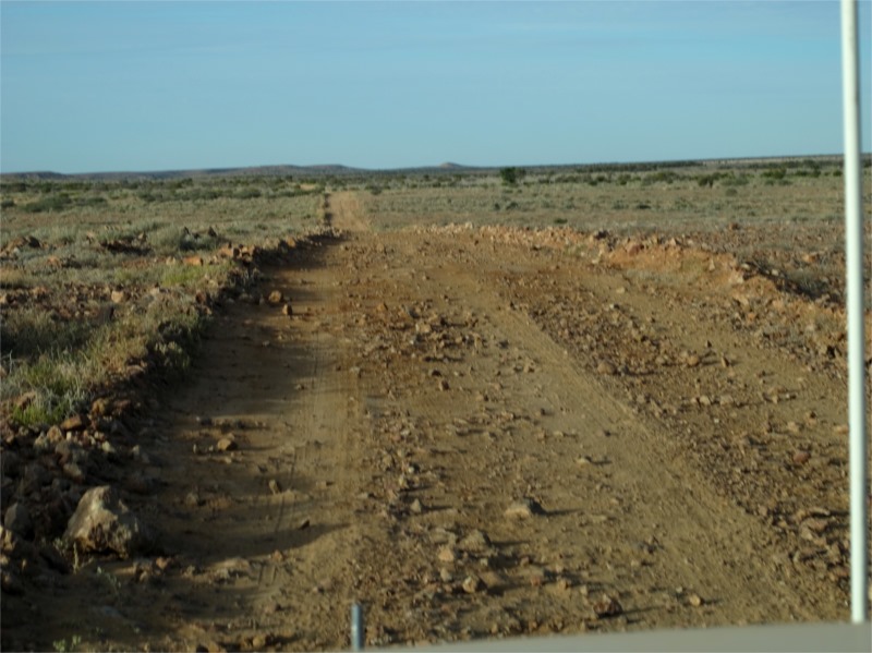
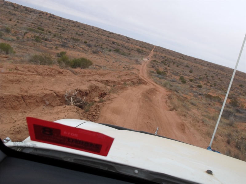
Mount Dare to Dalhousie Springs was the most bone jarring, teeth rattling road we have ever been on. I don’t think it had been graded in 100years. We thought the road into Palm Valley was bad. That was smooth compared with this. It is the first time I just wanted to stop and not go any further. We kept on and by about 4pm we were at Dalhousie Springs. We stopped and checked the vehicles to make sure everything was still in tact. Walked down to look at the springs and give our bodies a rest from the jarring but we still decided to carry on for another hour to Purni Bore, as that would put us in a close proximity to the Simpson Desert in the morning. It was another 70 klms to travel on this shocking road but it was good to get it behind us instead of waking up to more jarring in the morning. It took us 1½hrs to travel.
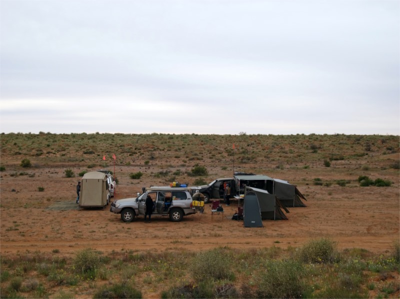
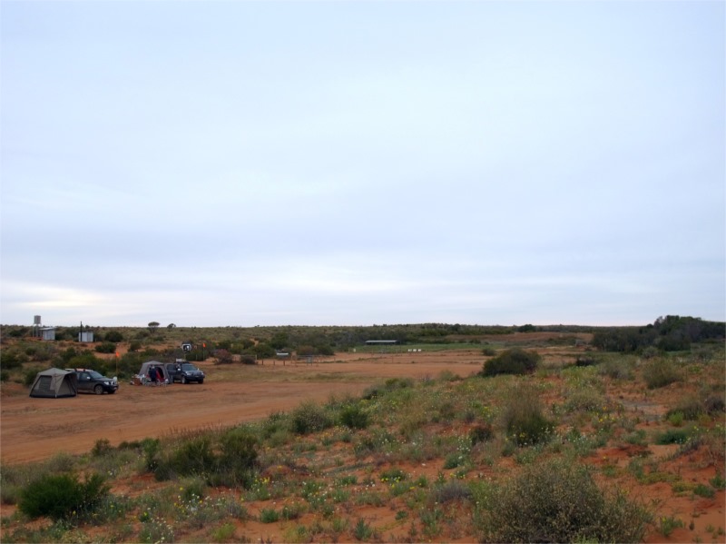
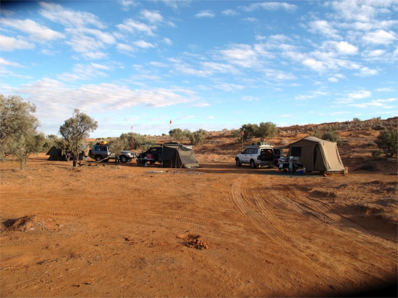
Purni Bore was supposed to have 80degree showers straight from the Bore but that wasn’t the case. The water was cold and the toilets were terrible. We all had our own toilets but during the day when nature called we all vanished into the scrub to find our “Pee Tree”. At the beginning of the crossing we ladies went well away from camp but by the final day – well the car wheel will do. No not really but we didn’t go too far and the trees were getting smaller but we didn’t really mind.
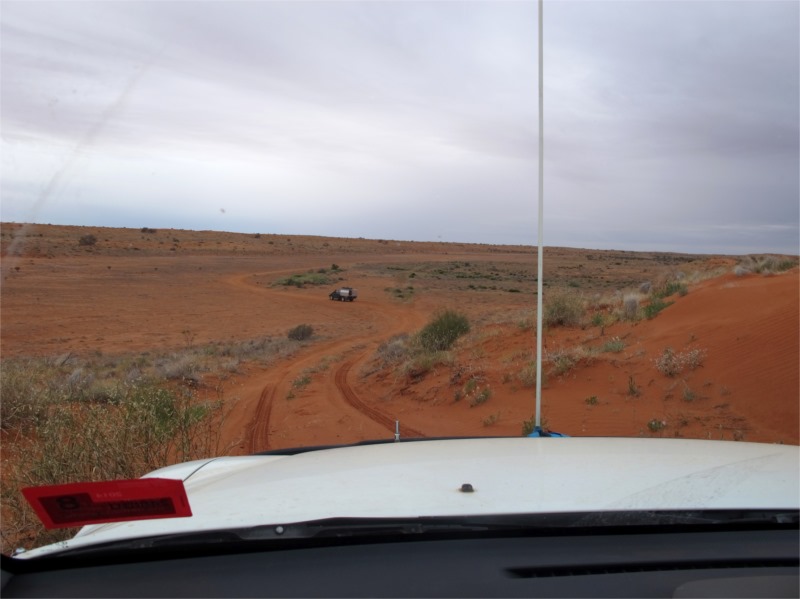
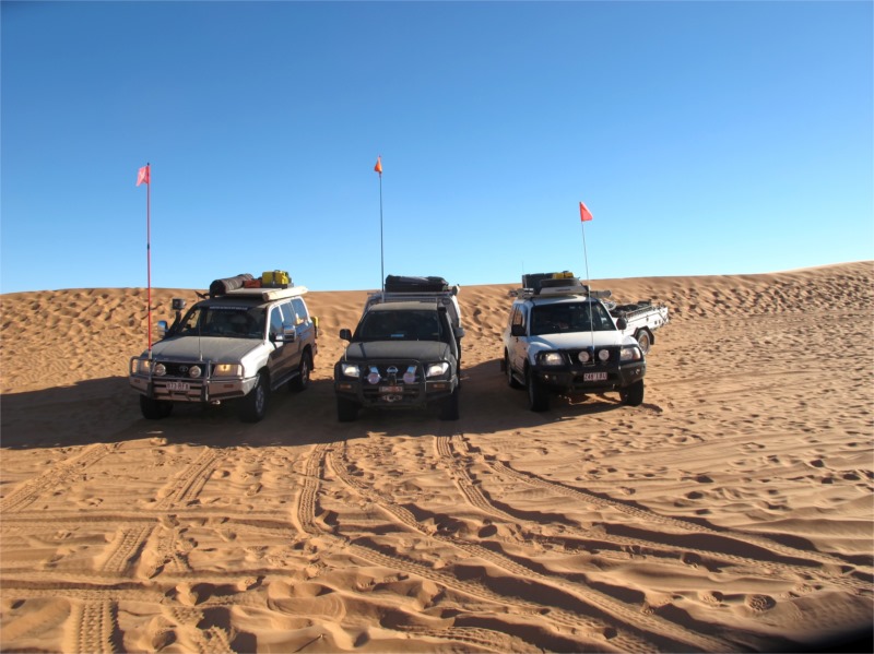
We set up camp in a reasonably open area. It was pretty cold and we weren’t allowed to make a fire so we turned in reasonably early. Just on dusk a group of six cars, 4 Prados and 2 Pajeros went flying past our camp, raising lots of dust over us and camped just down the road. They didn’t seem to be set up at all for a desert crossing as there were no bull bars, desert flags, retrieval gear etc attached to the cars. We had heard them coming on the 2-way and they had been getting stuck over the smallest sand dunes that we’d just come over. This was a concern for us as people like that not only wreck the sand dunes but hold you up. We decided to get up early and beat them to the track to make sure we would be in front.
Sunday 13 July 2014
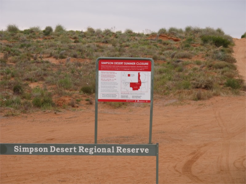
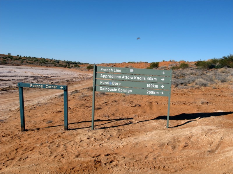
Purni Bore to somewhere on the Rig Road
We awoke to .9 degrees, cloudy cold day. The winds were really icy and we needed to get into the sand dunes for some shelter.
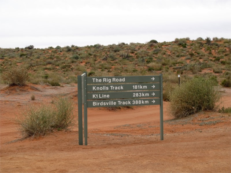
We left before the group of 6 and set off to find the sign that said SIMPSON DESERT. We travelled about 30 klms before we found it and the start of the French Line. The French Line (FL) goes straight across the desert and is a well used track. We decided to take another route and travel the Rig Road which turned south off the FL for about 13klms and then turned east. We will then travel along the Rig Road 36klms, turn south again for 34klms and then east for another 47klms before turning north still on the Rig Road. We will travel along this for about 17klms to the Lone Gum Tree and at the junction of Erabena Track and Rig Road where we will turn east and continue travelling the Rig Road for another 35klms. We then turn north into Knolls Track and travel 41klms to the French Line. This will be over 3 days as we only plan on travelling 4 hours a day and taking in the scenery etc.
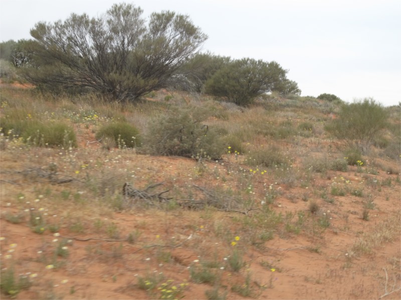
Before we reached the FL we could hear the group of 6 calling out “oh look at the beautiful flowers. Lets stop and take a photo” or “You’re stuck, just give it a bit more revs, no go back and try again, no try the other track” etc etc. They were also discussing going down the Rig Road. By this stage we were over there chatting on the general channel so decided to play a trick on them. When we got on the Rig Road John said over the 2-way “Gee the Rig road is bad. I wish we hadn’t come this way.” They heard us, stopped and had a discussion and decided to go another route. That gave us peace and quiet for 2 days until we reached the FL where we knew we’d probably catch up with them.
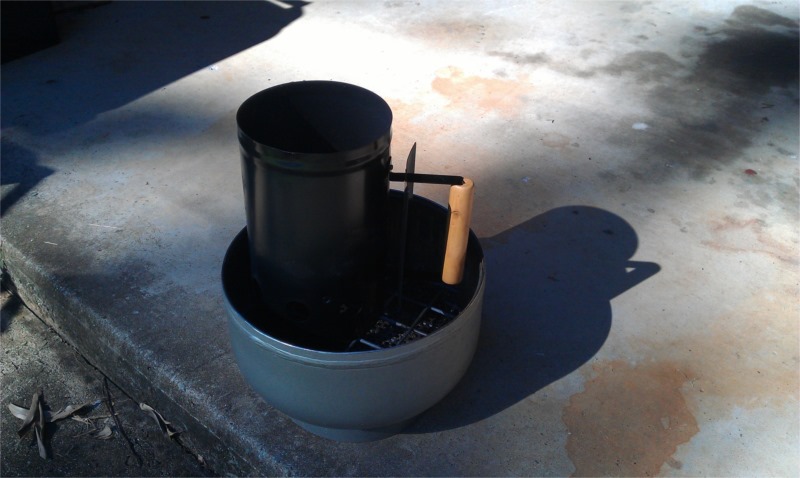
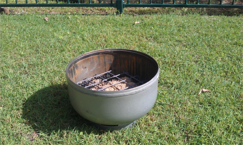
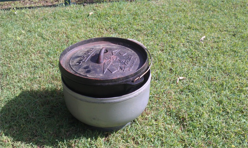
We travelled just past Georges Corner on the Rig Road and set up camp for the night near Macumba Oil Well. It had started to rain, showers, but our plan was to have a roast for dinner in the camp oven. We don’t need a fire to cook with our camp oven as John has made a special setup with a half LPG gas bottle. (See the photos below.) This means we can cook in the camp oven at any time. We use heat beads, heat them up in the chimney and when white hot place them in the bottom of the gas bottle and some on top of the oven. We have an App that tells you how many heat beads to use for what you are cooking or the heat you need. We haven’t had many failures. Tonight we are cooking a butterfly lamb and roast veggies. A great end to a great day. We were in an open area so set the camper and tents in a semi-circle to try and break the wind.
Around the fire a couple of nights ago John asked the question what is the most useless thing you have bought on the trip. We said umbrella, Brian said gumboots and Stuart said poncho. These were all about to be used.
We managed to still have a fire and our umbrella we’d carried from Brisbane became very handy. Brian’s gumboots, which had fallen out of the back of his car and annoyed him every time he opened the door, now came in handy. Stuarts Poncho definitely came in handy. So the moral of the story is if you think you’ll need it take it. You just never know.
Because it was cloudy we hadn’t seen any sunsets or stars which was a bit disappointing. Maybe the wet will dampen down the dust and sand dunes for tomorrow.
Monday 14 July 2014
Somewhere on the Rig Road – Somewhere else on the Rig Road
We awoke to 11 degrees the warmest yet, but, it was raining. We had camped on a clay pan, no other options I’m afraid, and every step we took while packing up added more clay to the bottom of our shoes. I nearly became as tall as John, ha ha! We had taken rubber mats with us to use in the shower and where ever and these came in really handy to use as stepping stones from car to camper. Eventually we got packed up and off. The rain did help with dampening down the sand dunes and made travelling easier.
It stayed cloudy and by midday the temperature had reached 15degrees. We were in no rush today and just cruised along the Rig Road and stopped at the Lone Gum for lunch.
After lunch we travelled north to the junction of Erabena Track and Rig Road where we turned east and continued travelling the Rig Road. We hadn’t seen or heard anybody for 2 days and it was so great to be on our own but we didn’t feel isolated at all.
We found a nice spot to camp this time on a sand pan. It was still raining on and off but didn’t bother us too much. We had a lovely spot between two sand dunes which protected us from the wind, and because we were on a sand pan we didn’t have the problems we had with clay. The rain eased over night and left the tracks a bit damp which was good as we wanted to start early because we had a big day ahead.
Tuesday 15 July 2014
Somewhere on the Rig Road – Knolls Track/French Line
Something I haven’t mentioned about our trip. While we were out in the Meander around the Middle because it was so dry our hands, especially the guys, dried and split. We went through so many bandaids, paw paw ointment, Brian even put silver gaffa tape on his fingers over the bandaids to keep them on. It was quite painful and annoying. Thank goodness for working gloves as you really needed them for packing up camp. So, things to remember, washing up gloves, working gloves and gloves to keep your hands warm. Now we are in the desert the air isn’t so dry and our hands are clearing up.
Today we’re travelling along the Rig Road until the junction of Rig and Knolls Track, turning north into Knolls Track, and stopping for a look at Approdinna Attora Knolls and then finding a camp spot on the French Line.
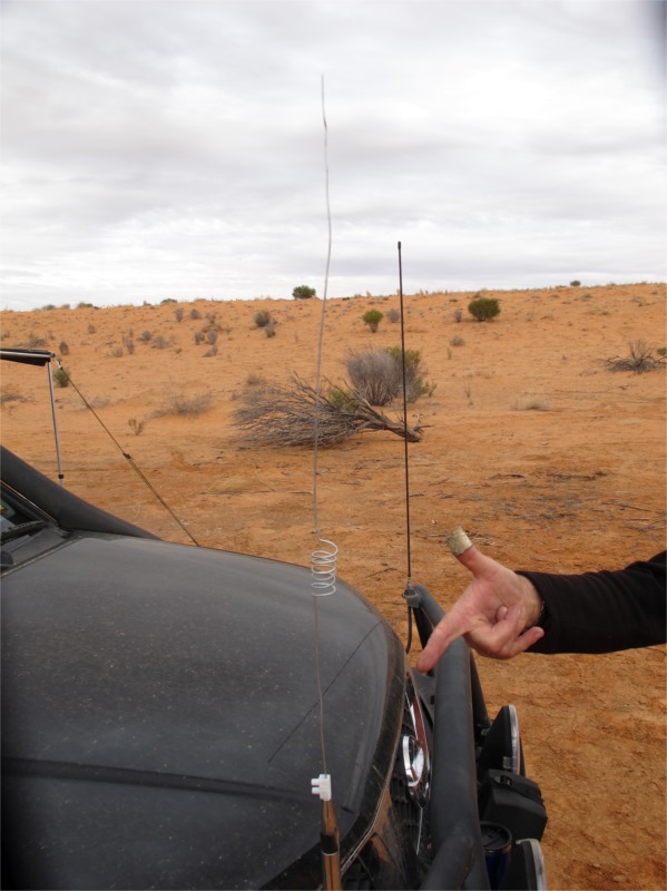
Before we left camp Brian rigged up a makeshift aerial. He had lost one a couple of days ago, it just broke when on corrugation and he managed to borrow another one from Stuart. That had also snapped so he found some wire the correct gauge and made one. It looked pretty good. Even had the twirls in the middle. This lasted until we were on the QAA Line to Birdsville. Not bad considering the terrain we’d been on.
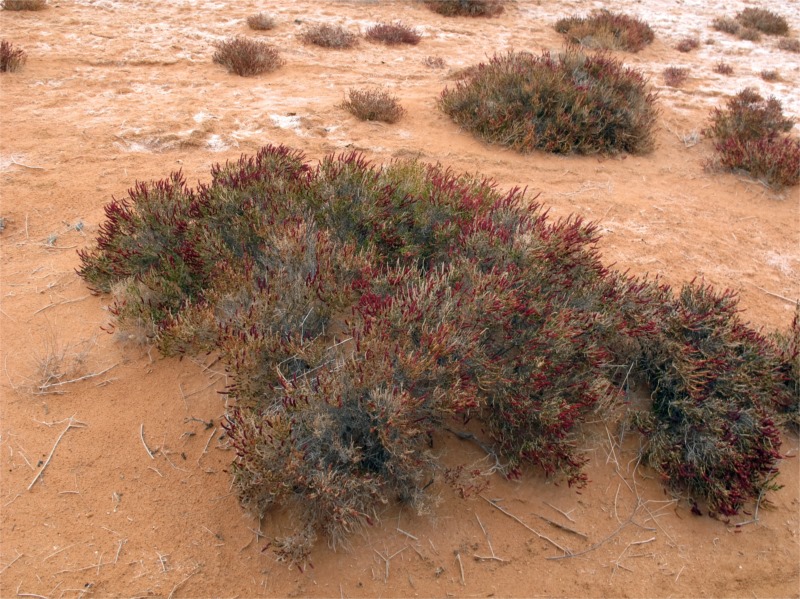
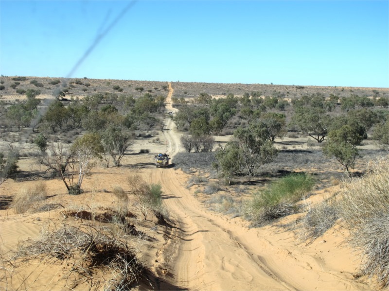
The Rig road was much the same, easy to travel with interesting plants and dunes along the way. At the junction of Rig and Knolls we stopped for lunch.
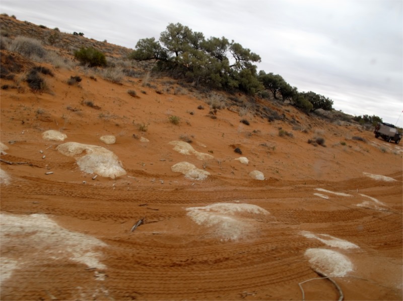
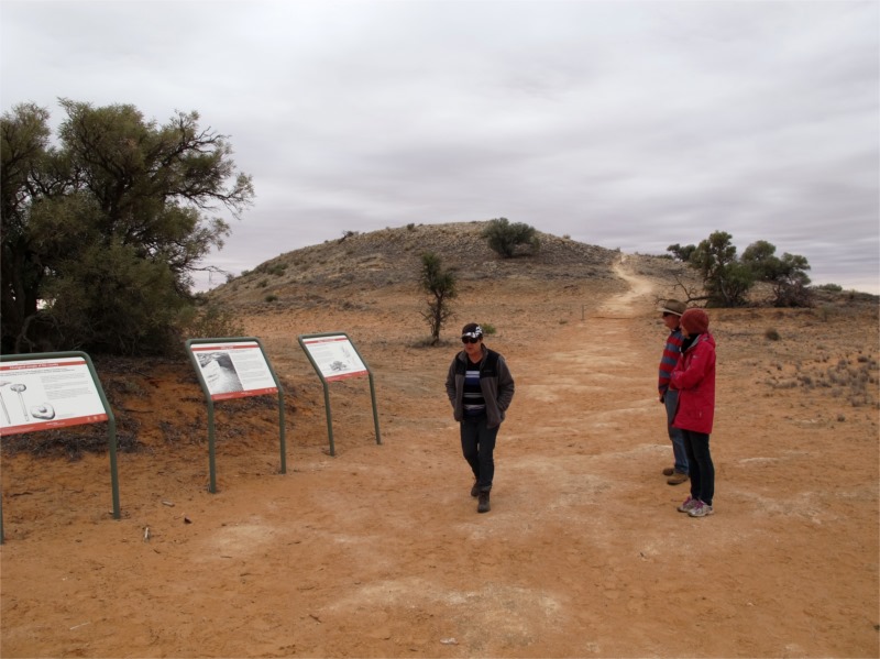
The Knolls Track was really hard going as the surface was made of gypsum rock, was very rough and just generally hard to drive on. It was much slower going than we had expected. We stopped at the Knolls for a toilet stop and to walk up the knoll to look at the view and take some photos. These fragile gypsum outcrops are rare and fragile by nature and of great Aboriginal and scientific importance. They were once the highest dune crests in this area and now provide a high vantage point for viewing the surrounds. The first European to visit the Knolls was David Lindsay on January 11th 1886.

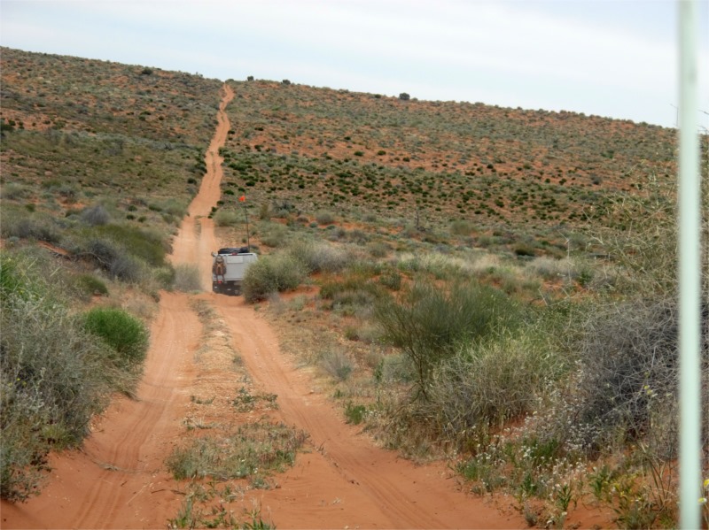
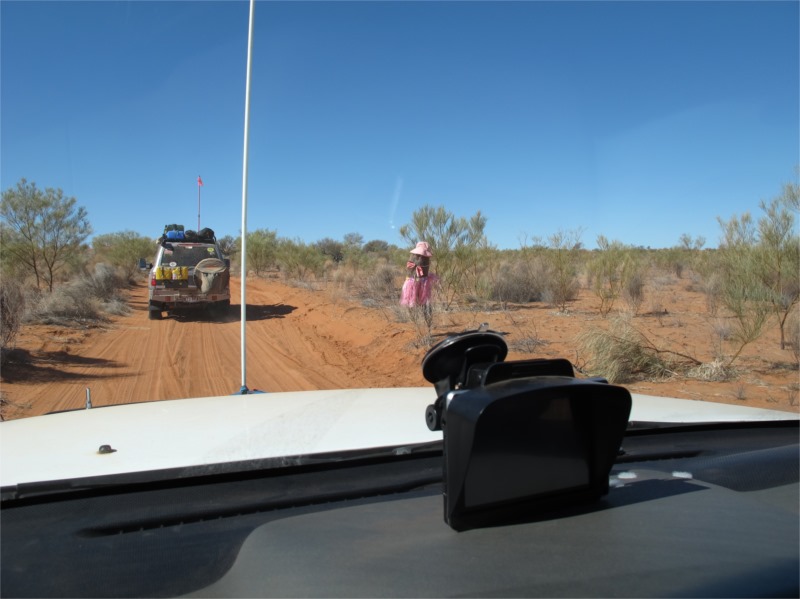
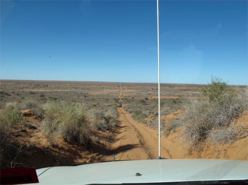
While trekking over the dunes we’d been moving in convoy with Brian up the front, John and I in the middle and Stuart bringing up the rear. Stuart’s wife Jean thought our Aussie Swag camper was great and because it was just bobbing along she nick named it “Bob”. So it will forever be known as “Bob”. One time Brian went over a dune and came face to face with a rather large male camel. He was a charcoal colour and got as big a fright as Brian and galloped away, calling out as he did. A pity camels can’t use 2-ways or wear sand flags, but it is something to be aware of as it could be a cow or a car for that matter that you could encounter when going over a dune. Hence the reason for tall sandflags.
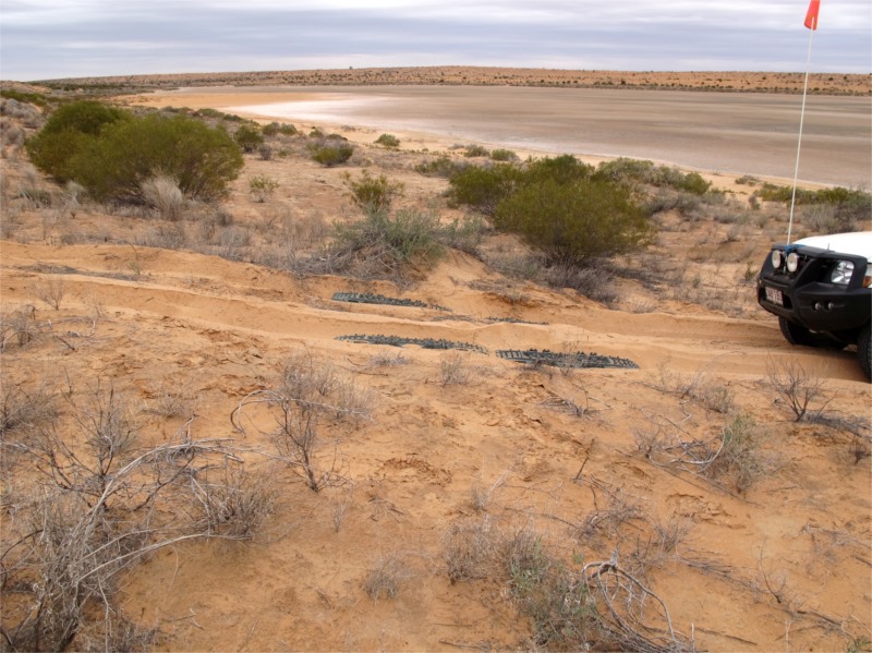
On one of the steep inclines coming out of a clay pan on the FL the Pajero got bogged. We were going to try and drive up the dune again but decided not to churn the sand up and we’d bought some “Mallee Tracks” so needed to at least use them once. We put them down and when we drove over them they popped up and then dropped and became totally immersed in the sand. It took us awhile to find them and dig them out.
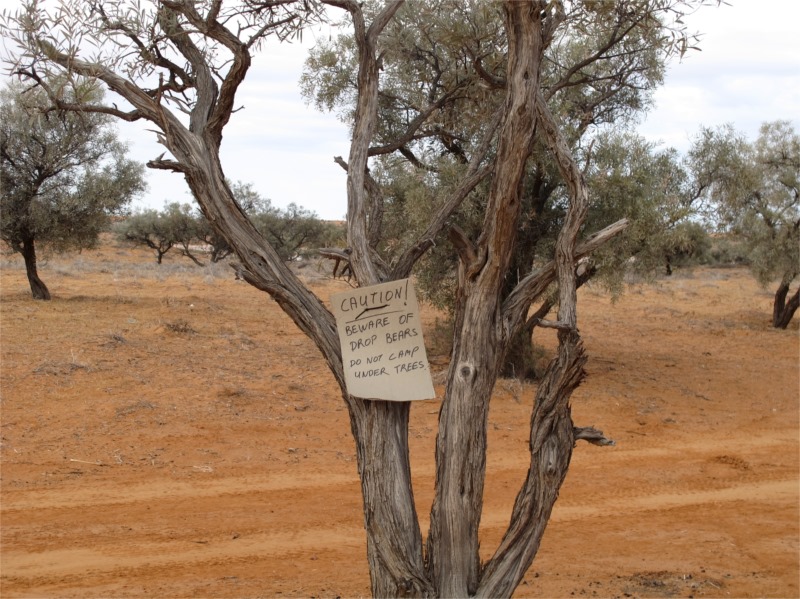
After taking photos we moved on and while we were travelling we could hear, guess who, the “flower people”. They were on the French Line. Damn. When we hit the FL we didn’t see anyone, just heard them but carried on and found a nice spot to camp. Someone had had a bit of fun and put a notice on a very low bush “Beware of the drop bears”. We set up camp and found some Gidgee tree branches to make our fire. This wood is fantastic. The heat from it is so hot and holds the heat so well that you don’t need much. We planned on having an early night, as once again we didn’t want to get stuck behind the “flower people” and also planned to make it to Birdsville which was 210kms away. This doesn’t sound much but when you’re travelling on sand dunes and salt pans you never know what you are going to come across.
Our entertainment this evening was listening to the 2-way at all the people getting bogged. We were to find out the next day that it was a group of “others” who had a Jayco being towed in their group, and they had to drag it across all the dunes. What a mess we faced the next day. That is why caravans aren’t supposed to travel the desert. I saw the caravan in Birdsville and it was a bit beaten up. Not surprising.
The fire was so good when we woke next morning it was still hot enough to cook on it if we’d wanted to. (It took quite a bit of washing up water to put it out.)
Wednesday 16 July 2014
French Line – Birdsville (via Poeppel’s corner)
We were up early. It had stopped raining late yesterday and the clouds were moving away. This was a bit late and we didn’t get to see any sunsets, sunrises or stars on the desert. Oh well we’ll just have to come back won’t we.
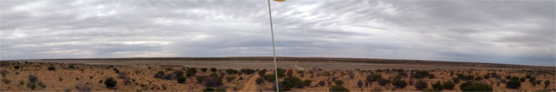
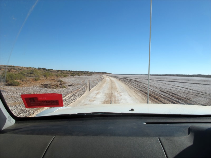
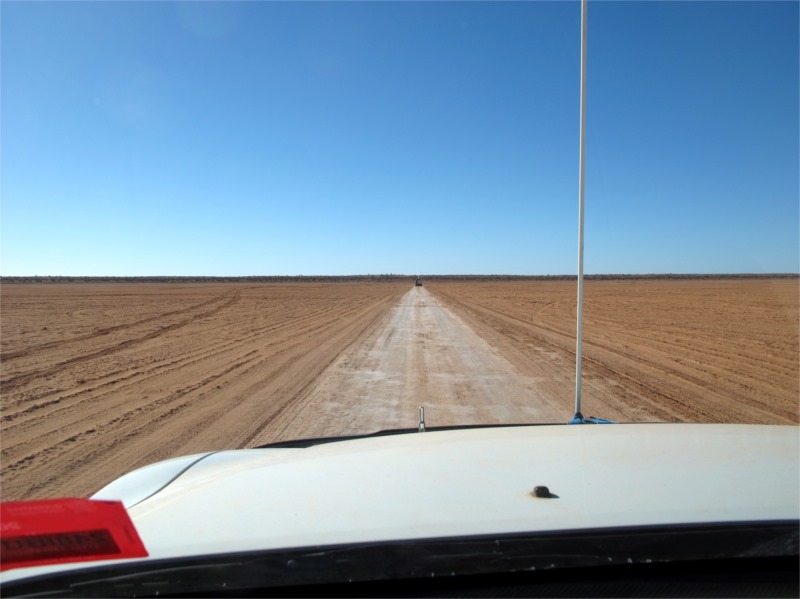
We set off onto a nice firm surface and travelled over some much bigger sand dunes and across salt pans. Stuart had been threatening to get out and taste the salt when travelling the desert. The time had come, he did it and I think he got a mouth full of dirt instead.
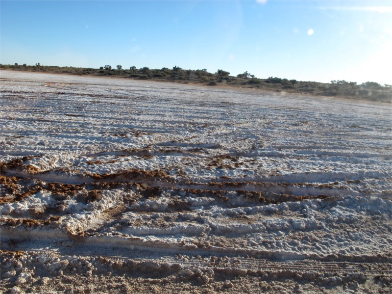
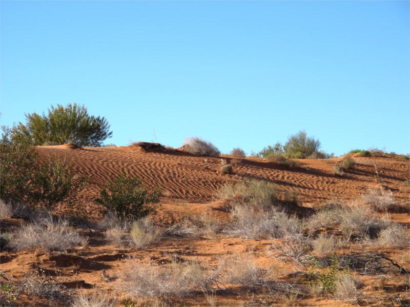
The salt lake A beautiful sand dune
After awhile we could hear the “flower people” and “others” again and they appeared to be well in front of us. We never caught up to them all but they left a trail of dug up dunes in their wake.
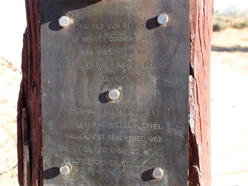
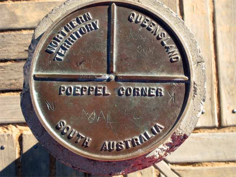
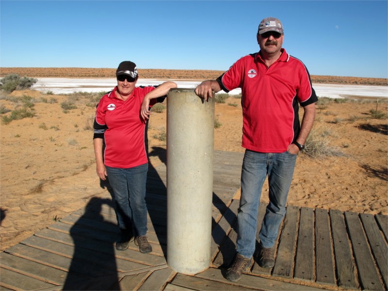
After travelling 40 Kms we reached Poeppel’s Corner. Poeppel is the surveyor, Augustus Poeppel, who the point is named after. He conducted a survey in the mid-1880s to find the exact location of the central Australian state borders. His team used camels to drag a Coolibah post to mark the intersection. Originally the point was located in a salt lake, however it was found that the measuring chain used was a few centimetres too long. Another survey was conducted by Lawrence Wells, who relocated the post to its current position.
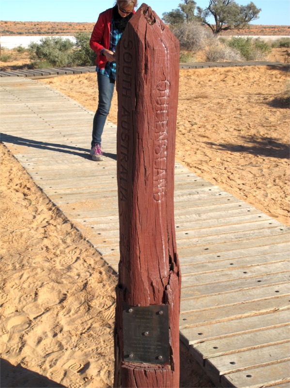
Poeppel Corner (known as Poeppel’s Corner in Queensland) at latitude 26°S and longitude 138° E is a corner of state boundaries in Australia, where the state of Queensland meets South Australia and the Northern Territory. Poeppel Corner is about 174km west of Birdsville. The Poeppel line goes right across the top of South Australia to Haddon Corner.
Wouldn’t it be great to go to Poeppel Corner for New Year’s Eve. You could have new year’s three times because it’s in the corner of three time zones. But you can’t the desert is closed from December until March. Maybe Cameron’s corner would be okay?
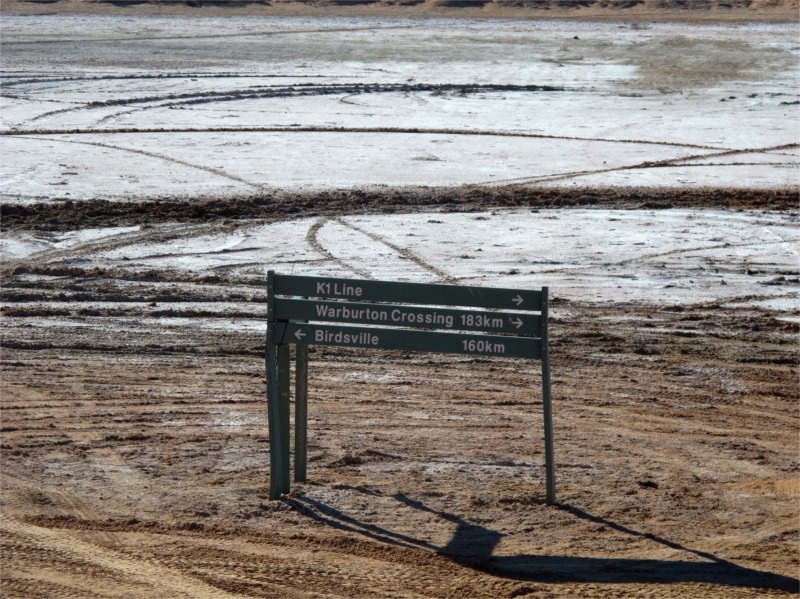
After Poeppel’s Corner we left the dunes and travelled for 15kms north alongside a salt lake. I was getting really excited because I only had about 130kms to Big Red. As we travelled alongside the lake we started in Queensland, moved into Northern Territory and then back into Queensland. (Just a bit of trivia for you.)
Once we left the salt lake we were travelling on the QAA Line and the sand dunes became bigger and so did the trees. Someone had had a bit of fun along the track and dressed up a fir tree. There had been a big party on Big Red the weekend before and we wondered if someone had done this on the way home.
At one stage we were travelling through a beef cattle station and across the dry river bed of the Eyre Creek. Terrain was very rocky and lots of bigger trees and not a pretty as the desert.
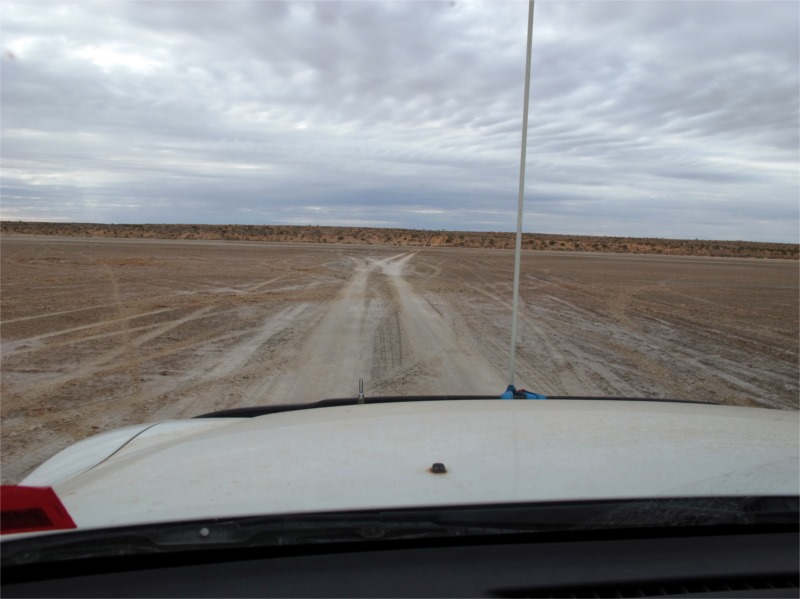
We encountered a few travellers coming west with makeshift flags or no flags. They at least had 2-ways so we were alerted to their whereabouts. One group of 4 cars had fishing rods as flag holders. They weren’t high enough and I would say they wouldn’t have lasted long. They were happy but it would’ve been interesting to see how they faired.
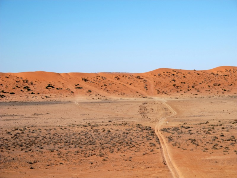
All of a sudden we were there. In front of us was “Big Red” How majestic and huge it looked. The closer we travelled towards it the bigger it became.
John was determined to drive up Big Red with the trailer on. We tried one track straight ahead twice but could only get 2/3 up. We then decided to try the one to the right. The first run we were too slow. The next run was it, we went into the red zone, and literally flew with all 4 wheels off the ground. Bob just travelled behind undeterred. WE MADE IT YAHOOOOOOOO!! Brian and Val, Stuart and Jean were already at the top and I can still see their shocked faces when they saw us flying through the air. WE MADE IT.
After many photos we travelled the last 40 kms to Birdsville for a much earned shower. We stayed at the Birdsville Caravan Park and after setting up a basic camp, for the last time, we walked to the Birdsville Hotel and had a beautiful meal. Last time we were here to get a meal you went into the public bar and got a hot pie, heated in a microwave. This time the hotel was buzzing with people, they have lots of separate rooms for dining and a chef with a great menu to cater for all dietary needs. It was a great end to our desert crossing.
Thursday 17 July 2014
Birdsville – Charleville
We were up early this morning and our plan is to be back in Brisbane by tomorrow night. This meant 2 long days. Stuart and Jean were going to do the same thing but because they didn’t have a trailer we thought they would travel faster than us. We had booked to stay at the same motel in Charleville. Brian and Val were heading up to Townsville and were taking a few days to get there so they left at their leisure.
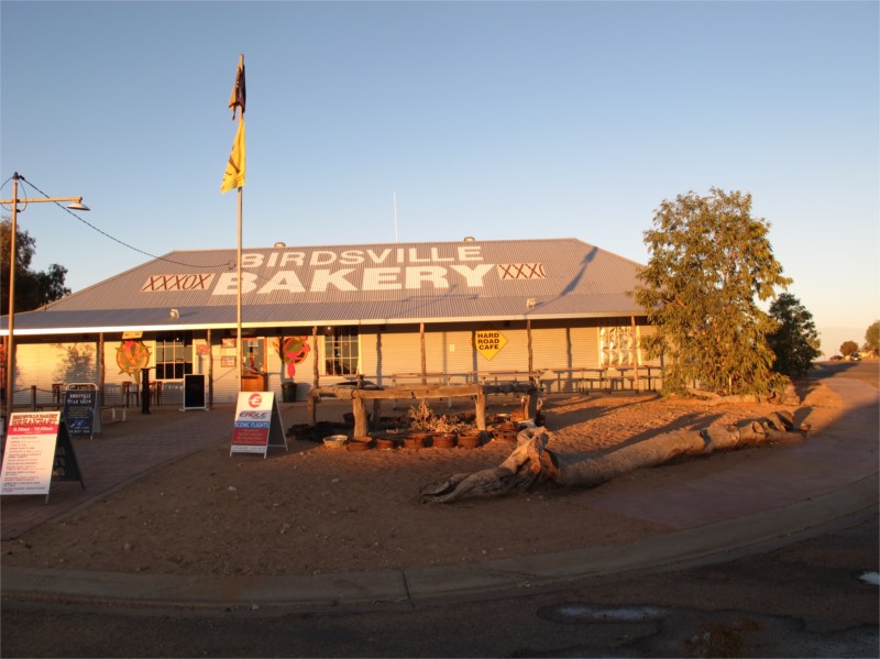
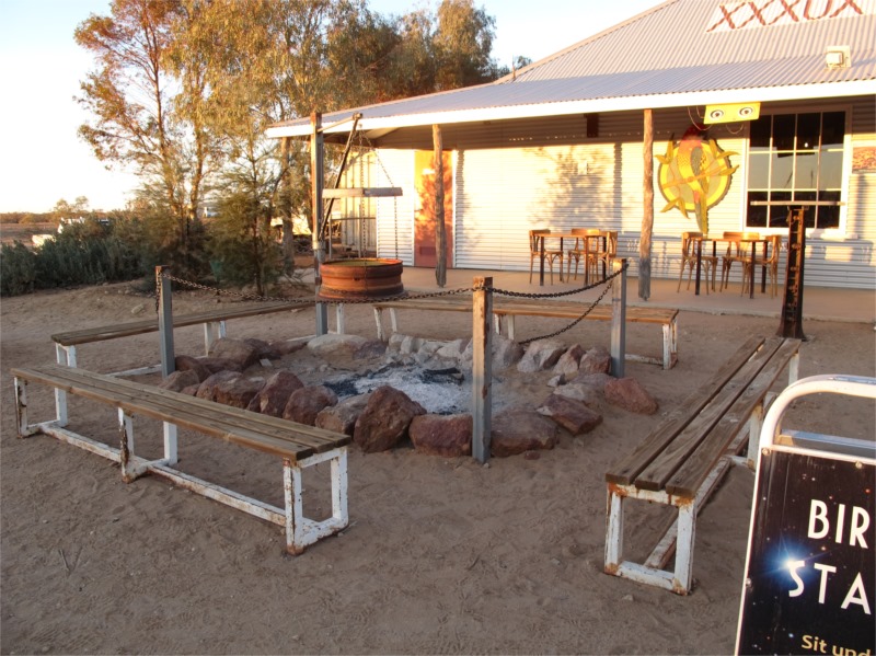
We packed up and went to the Birdsville Bakery for breakfast and coffee. They are known for their pies, though that’s not what we had, and their bread is really nice. Last time we were there it was “just a bakery”. Now you can go there for dinner and sit outside around a camp fire. A really nice atmosphere I would think. It is also twice its size with tables inside as well.
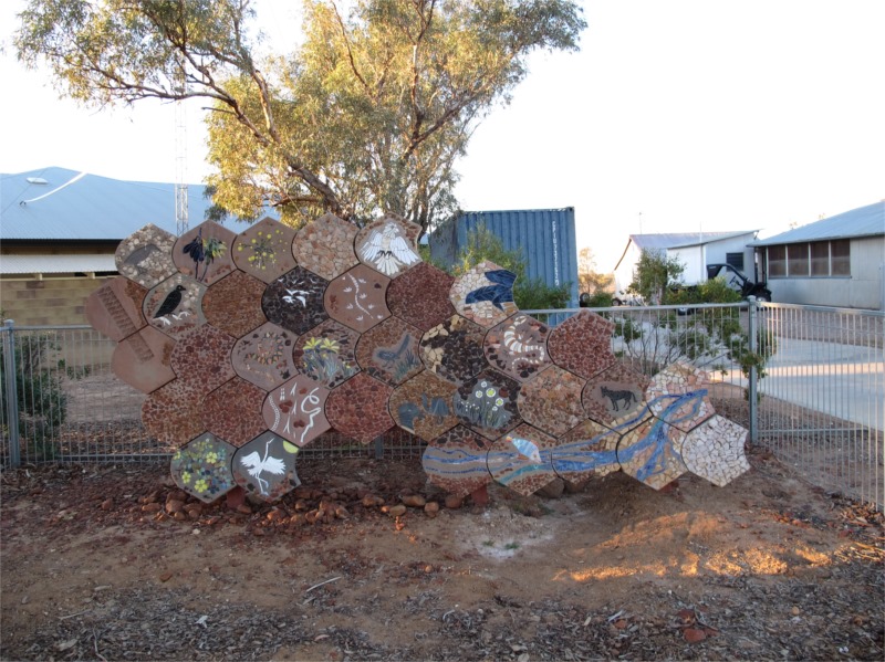
When we were out here in 2002 there was a group of aboriginals working on a ceramic mural to place outside the Medical Centre. Our daughter Ayla was 8yrs old and they asked her if she would like to help. She did and created a fish and helped with the goanna. We went looking for the medical centre and found it. See below.
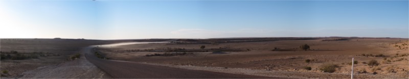
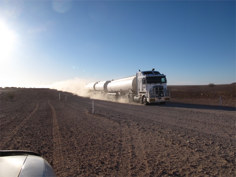
The road from Birdsville to Windora (the Birdsville Development Road) was in pretty good condition with some new patches of seal and the direction of the road had changed in places. There were more rest areas and they all had toilets which has been lacking out this way. The terrain is pretty flat and barren but has a beauty of its own. Some of the road was unsealed, some was completely sealed or sealed down the middle. It was one of the latter roads, when we were only about 1 hour into our day that a car coming the other way sped through the gravel and threw a stone up onto our windscreen. This caused another crack in the drivers side top corner of the window. It did last until we got home and we are now waiting for the crack to lengthen before getting a new one.
We didn’t see many road trains but it was better to get off the road and let them pass than keep going.
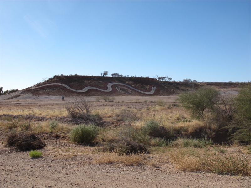
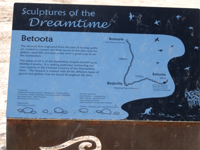
As we were travelling we could see a large snake like drawing on a hill in the distance. When we got up to it it was magnificent. The sculpture was called “Sculptures of the Dreamtime” and depicts connecting the three towns in the region of Bedourie, Birdsville and Betoota. The Gibbers, sand hills and dust storm was a great way to do the connections. The design is a serpent travelling on Mithika Country making pathways connecting the river systems throughout the Diamantina Shire. It was a beautiful way to tell a story.
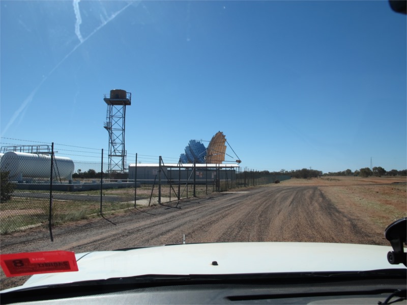
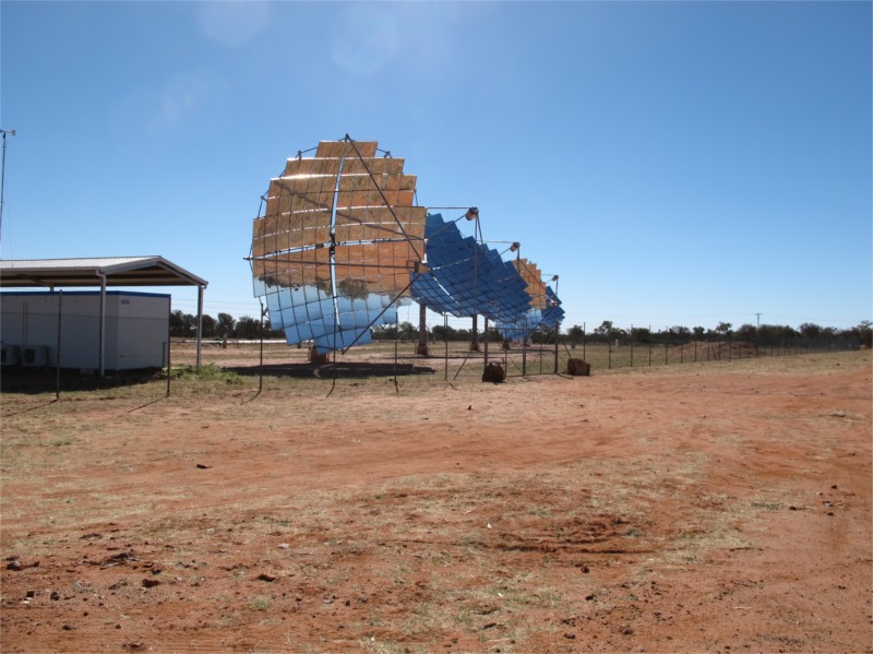
Just outside Windorah we came to a sealed (down the middle) road which was to take us home. No more dirt roads. YAHOO! We stopped in Windorah for a hamburger, fuel and to stretch our legs and set off again. Just as we were going out of town we saw a solar power station that obviously wasn’t being used. We remembered reading about this being built when Campbell Newman came into power. This was going to be energy saving etc. spent millions and now it isn’t working. I wonder how many of these are around Queensland and we don’t know about them.
The traffic was good most of the way and very light. We unfortunately didn’t make it to Charleville by dusk and it was a bit scary driving (I as driving) the last hour and looking out for Emus, wild pigs, kangaroos, goats and wild cats that either ran along the side of the road or hopped and ran in front of the car. It was amazing we didn’t hit anything. In the end we got to Charleville in one piece and found our motel. Stuart and Jean were already there but only just. They had stayed in Windorah much longer than us and regretted it when dusk arrived as they had the same problem with wild life as us.
The motel owners were really nice and had booked us in for dinner at a local hotel. We had another really nice meal and with such great company it was a bit sad to think this was really the end of our holiday.
Friday 18 July 2014
Charleville – Brisbane
Today the seal got wider and the traffic got scarier. After being out of the traffic for a month you could really see the idiots on the roads. Anyway we arrived home safely, windscreen still intact and set about cleaning the bull dust out of everything for the next two weeks.
We are back home after travelling 8000 kms over 30 days. What a trip. I could turn around and do it all again.
Brian and Val, Stuart and Jean thank you for the best Desert Crossing and overall holiday. We had so many laughs around the camp fire and during our sojourns together. We have our own funny stories that only we can relate to. I have found it so hard to get back into the swing of living in Brisbane and found I was going outside all the time as I wasn’t used to living inside. We had a fire on Saturday and Sunday nights when we returned. Just had to. Why not.
A plan – how about doing a West/East – East/West Simpson Desert trip. Would love to do it with you guys.
A list of things that need fixing. They are really only minor.
New windscreen
Port a potty bag stuffed
Camp oven bag stuffed
New and better 2-way aerial
Bushes on the rear suspension trailing arm
Dents and paint off all extra bash plates under car and camper
Petrol costs – We used LPG and petrol and were expecting costs to be quite high for the whole trip but were surprised how varied they were.
Winton – Petrol $1.62 Gas $1.09
Boulia – Petrol $1.80
Kulgera – Petrol $2.40
Yulara – Gas $1.25
Kings Canyon – Petrol $2.20